Tools of the trade: Sunlitt sun-tracking software
One of the more useful bits of phone software is a sun-tracking app.
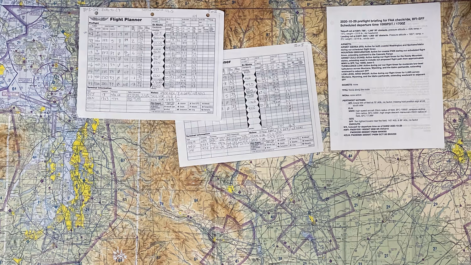
When scheduling or executing a photo shoot, regardless of where in the country I am, weather is typically the primary deciding factor. There are plenty of weather forecasting apps. Honestly, though, I almost always use ForeFlight for weather, as the aviation forecasts are often the most accurate and most comprehensive available, plus I already have a subscription to the app as I use it for both weather and navigation when flying.
As for the second most important factor, I use Sunlitt for planning the best time to take advantage of natural light, especially for exterior architecture and construction photography, videography, and drone work.

There are a ton of free and paid/subscription-based sun-tracking apps for iOS out there, and I've tried quite a few of them over the years. My favorite was a desktop app called SunPath that generated a detailed PDF of the sun's path for any given location on any given date, which was wonderful for sharing with clients when planning a photo project.
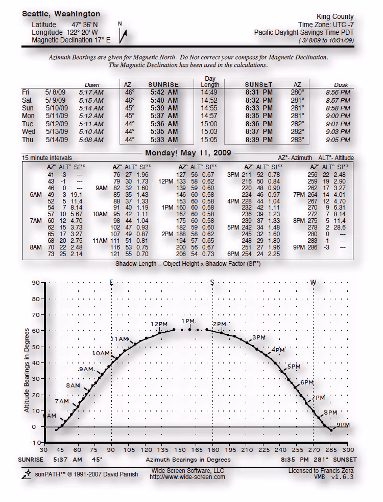
While it didn't include any mapping, the level of detail was great and the PDF output made it simple to share with anyone on a project team, regardless of which computer platform they used.
Reminiscing aside, phones have allowed for groundbreaking changes in apps like these, with VR permitting you to see the sun's path as an overlay as you pan your phone around.
Sunlitt does that, and more.
The level of detail that Sunlitt provides is extraordinarily useful. It can provide a simple, yet very effective graphic representation of the sun direction and shadow length for a given time and location, plus it can overlay that over google maps 3-D layer for even more accurate planning. It's especially useful for trying to sort out the optimal time to find the sun shining on a particular face of a tall building that's surrounded by other tall buildings in a city center.
Along the bottom of the default graphical view page are a scrollable series of icons displaying cloud cover, current weather conditions, lateral visibility, twilight, and sunset times.
The feature set is quite rich. In addition to 3-D maps, you can also select from maps with a layer showing shadow lengths, topographical relief, and a standard satellite view. The topo relief map is super useful when your project location in in a hilly area.
The customer support is outstanding as well. They'd included a feature to automatically start a live event that would show the sun tracking info at the top of the phone screen (the "dynamic island" in Apple nomenclature) that was helpful but not always needed or wanted. I emailed the support address to ask if there was a way to only have that functionality work on demand instead of it being always active, and I got a speedy response from Nicolas Mariniello, the founder & CEO of app developer Flipping Hues saying that mine was a good idea and that they'd implement a change. There was an app update within a week that successfully addressed the issue. Now that's good customer service in my book.
Again, there are many apps out there that provide similar information. But if you were to ask me for a recommendation, it would be Sunlitt.