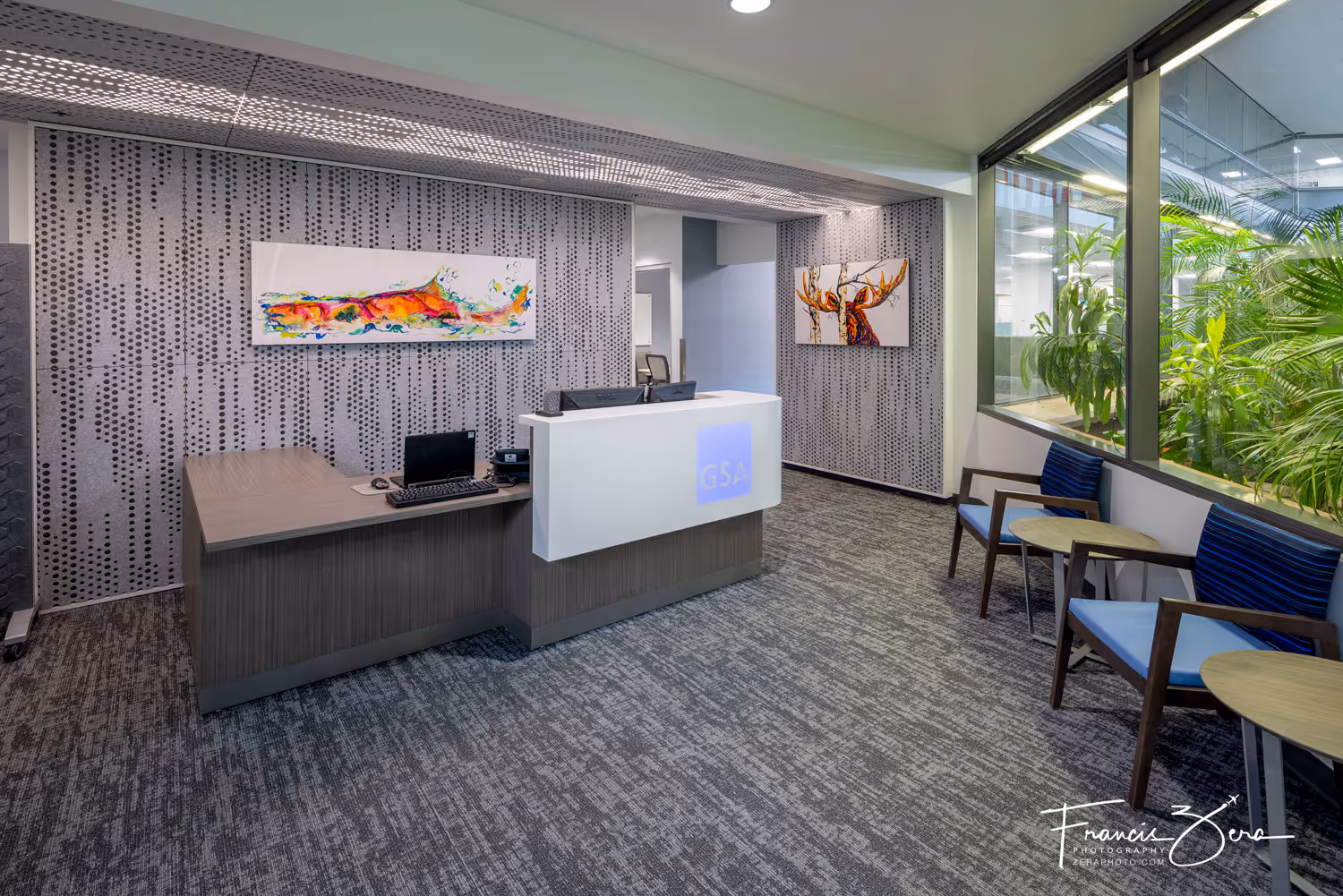
Navigating Seattle's Complex Airspace: A Guide for Drone Photography
Seattle's complex airspace presents unique challenges and opportunities for drone photographers, with its dense urban landscape and intricate airspace regulations. Let's have a look into the specifics of navigating this dynamic airspace.
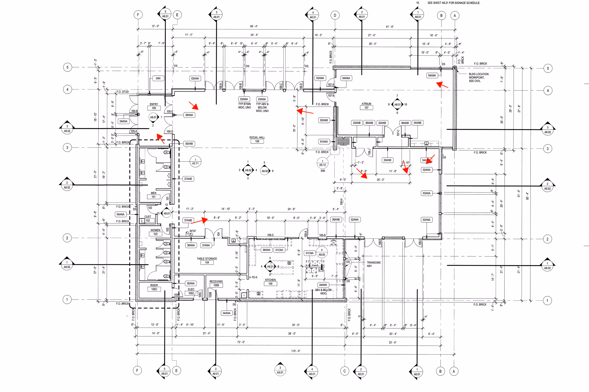
1. FAA Terminal Area Charts: When planning drone operations in Seattle, consult FAA terminal area charts specific to the region. These charts delineate such areas as:
- Class B airspace surrounding Sea-Tac International Airport, extending from the surface up to 10,000 feet, and covering all of metro Seattle and much of King County.
- Class D airspace encompassing King County International (aka Boeing Field) and Renton Municipal Airport, with vertical limits and communication requirements.
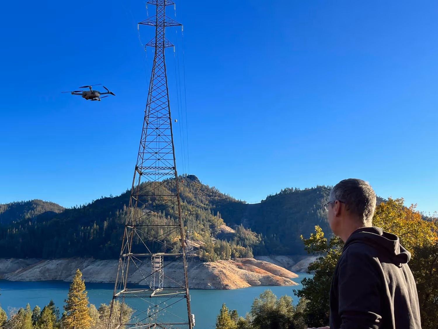
2. Altitude Restrictions: Seattle's airspace imposes altitude limitations to ensure safe separation from manned aircraft:
- In ANY airspace, drones are restricted to altitudes below 400 feet AGL (above ground level) per FAA regulations.
- The only exception is when inspecting or documenting a structure taller than 400 feet, the drone may be flown higher than the limit provided it remains within 400 feet of the structure at all times.
3. Restricted Zones and Prohibited Areas: Seattle's urban environment includes restricted zones and prohibited areas that drone pilots must avoid:
- Boeing's manufacturing facilities, military installations, and sensitive infrastructure sites are designated as no-fly zones.
- Many areas within Class B airspace, including downtown Seattle and sports stadiums during events, have flight restrictions.
- Many local municipalities have their own restrictions and permitting requirements as well.
- It is not permissible to fly drones over people who are not part of the flight crew.
4. Weather Considerations: Seattle's maritime climate brings rain, fog, and wind, impacting drone operations:
- Monitor weather forecasts and conditions to assess visibility, wind speed, and precipitation, ensuring safe and effective flights.
- Drones must remain in line of sight of the operator at all times.
5. Authorization Procedures: Obtain necessary authorizations and permissions for drone operations in controlled airspace:
- Utilize online platforms like the FAA's DroneZone or LAANC (Low Altitude Authorization and Notification Capability) for automated airspace approvals. Once those are obtained, additional authorization is required from the drone's manufacturer to unlock the flight restriction.
By understanding the intricacies of Seattle's airspace, including terminal area charts, altitude restrictions, restricted zones, weather considerations, and authorization procedures, drone photographers can navigate the city's complicated airspace safely and legally, capturing stunning aerial imagery while adhering to regulatory requirements.
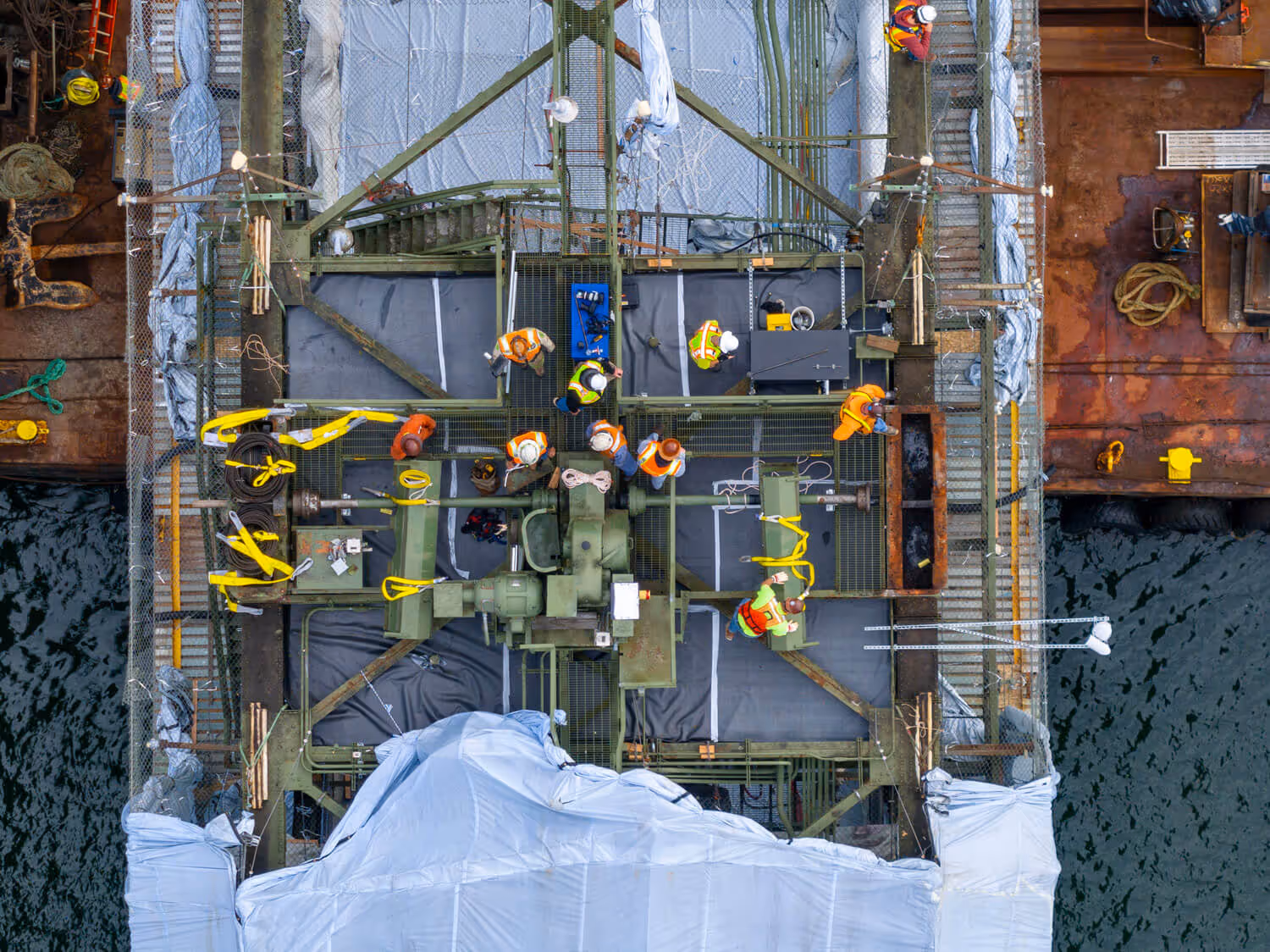
Keep in mind that we also have ready access to a commercial helicopter and pilot for aerial photography and videos when using the drone is either illegal or infeasible. Contact us today to schedule your aerial photo project!